ZWCAD 2025 Professional + TcpMDT 9.0 – Pack
From: 990,00€
Select options
This product has multiple variants. The options may be chosen on the product page
From: 490,00€
Complete solution for surveyors and mapping with GNSS receivers
This application for field work allows the user to make measurements and rethinks with a wide range of GNSS receivers, integrated in the data collector or connected via Bluetooth, as is the case of EMLID RS, RS+ and RS2 receivers, in addition to the STONEX S10.
The program has multiple options for surveys and rethinks of plots, plots and corridors, using ESRI basemaps, or orthophotos, mapping and map web services.
The applications work on Windows, Android operating systems, with different modules and functionalities.
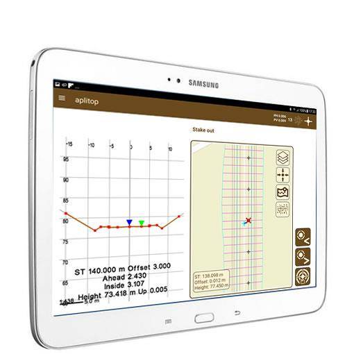
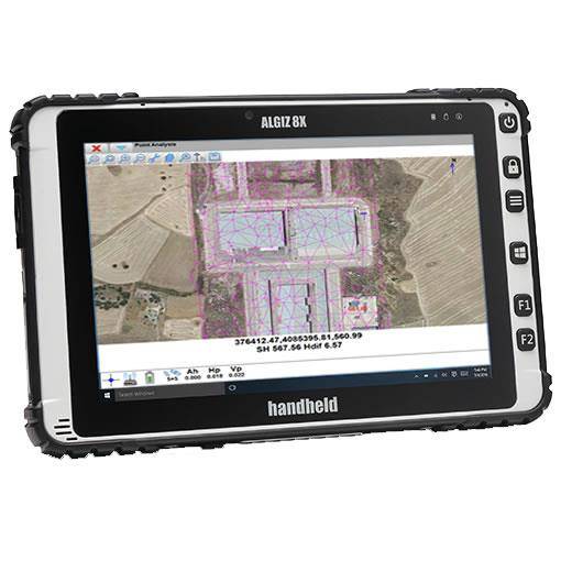
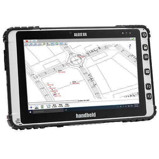
TCP-GPS operation video with EMLID Reach equipment
[kad_youtube url=”https://youtu.be/BsglNaRVpa0″]


From: 990,00€
From: 438,75€
From: 495,00€