PROMOTIONS AND OFFERS
Discounts on multiple DJI, EMLID and Pix4D products
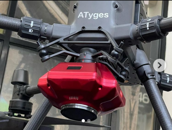
High Resolution Cameras for mapping
High-Definition Mapping Cameras
Aerial mapping is one of the most in-demand applications for unmanned aerial vehicles, or drones.
The requirements for these projects are becoming increasingly demanding. Beyond simply generating visual 3D models, the need for greater accuracy is growing, with the goal of creating digital twins of complex infrastructure or urban environments.
Oblique photogrammetry is a new, high-tech technology developed in the international mapping and remote sensing industry. Oblique photogrammetry captures images from multiple directions, combining traditional orthogonal (nadir) images with oblique images using multiple sensors mounted on a flying platform. This optimizes data capture, maximizing both the area covered per flight and the quality of vertical elements.
ATyges is an official distributor of SHARE cameras.