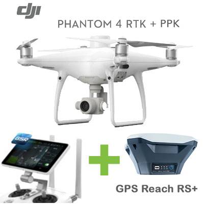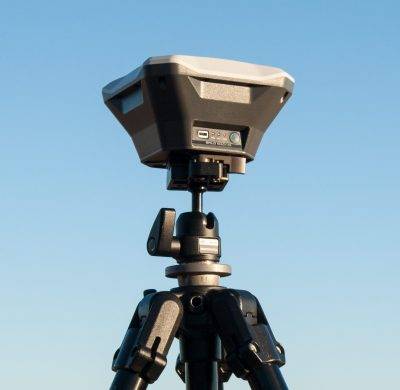
GPS Emlid Reach RS+
Original price was: 999,00€.800,00€Current price is: 800,00€. price without VAT (-19.9%)
From: 329,00€
Miniaturized GNSS GPS receiver for single-frequency RPAS
Single-frequency GNSS GPS receiver for RTK navigation and UAV mapping.
Original price was: 999,00€.800,00€Current price is: 800,00€. price without VAT (-19.9%)
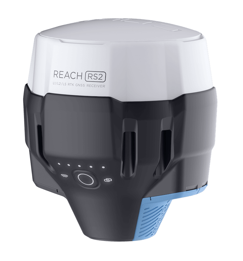
Original price was: 2.399,00€.1.945,00€Current price is: 1.945,00€. price without VAT (-18.9%)


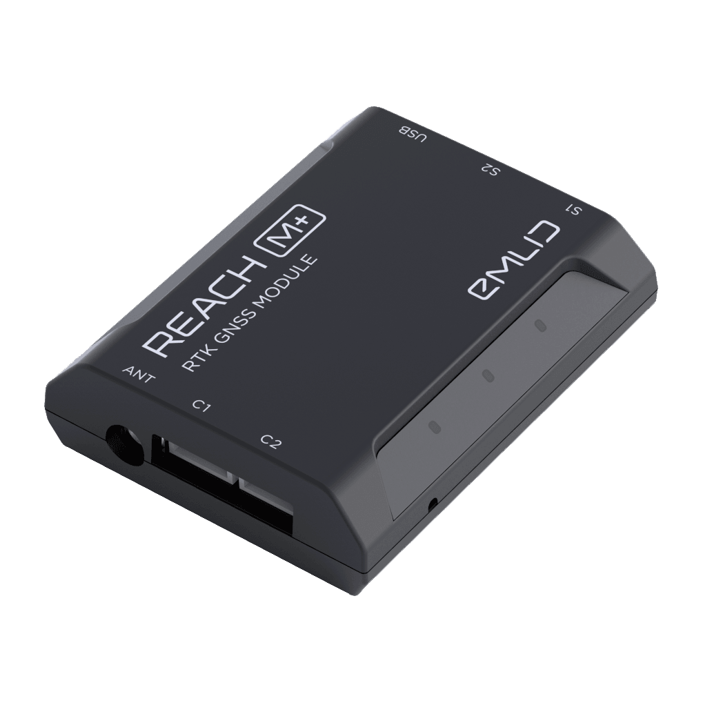
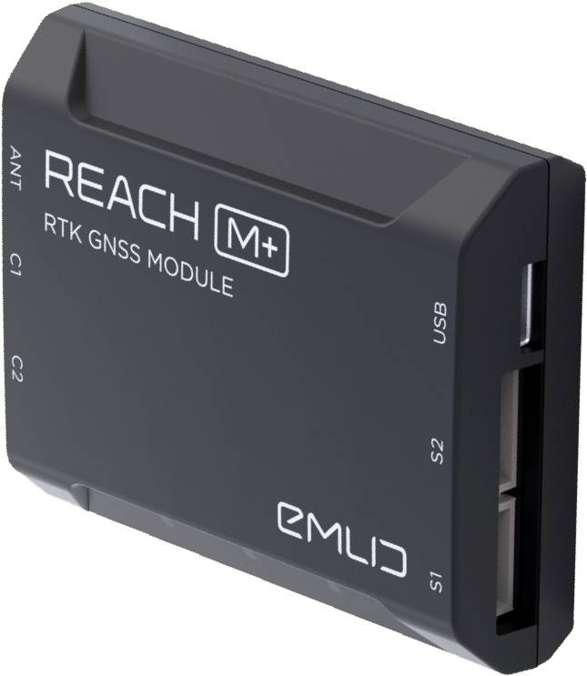
GPS Reach M+ is an L1 RTK-GNSS receiver for precise navigation and for performing flights without support points (GCP) as it calculates in real time the coordinates with centimeter precision and sends the data to your device in NMEA format, via UART, Bluetooth or WiFi. Records all the moments when the camera has been fired.
The Reach M+ system calculates coordinates in real time with centimeter accuracy and transmits them in NMEA or binary format via UART, Bluetooh or Wi-Fi
The module records the precise positions at the exact moment when each photo is taken.
Usually, autopilot activates the camera and records the coordinate it currently has. When the drone flies at considerable speeds (4 to 20 m/s) and the GPS runs at 5Hz, that means your autopilot will have position readings between 80 cm and 4 m. While sufficient for navigation, such readings are not suitable for precise georeferencing. In addition, there is always a delay between the shooting and the actual moment the photo is taken.
The Reach M+ module solves this by connecting directly to the camera. The time of each photo is recorded with a resolution of less than one microsecond.
With the free native ReachView app, you can control and configure your device. This tool is available in iOS, Windows, Android and Linux formats.
Easily configure the correction input, solution output, update rate, and satellite systems in use. Manage Wi-Fi and Bluetooth connections.
ReachView shows the current strength of the satellite signal, the visibility forecast of the constellation, its location on a map, and more.
Built-in tools for data collection. Record geolocations with specific accuracy. Import and export in industry standard formats.
Logs are automatically written to internal memory. View a list of records and download them using the ReachView app.
The tool ATygeo PPK facilitates the workflow of GPS equipment with PPK technology, as it performs the post-kinematic process automatically and incorporates all the useful information in the metadata of the camera images (corrected positions, precisions, etc.) facilitating the further treatment with photogrammetry software such as PIX4D®, Agisoft MetaShape®, ContexCapture®, TBC® and others.